Wall maps
Showing 37–45 of 116 results
Add to favorites

Map of Estonia, 1920
Add to favorites

Estonia with forest background, general
Add to favorites

General Map of the Baltic States
Add to favorites

Saaremaa Island 1836, Saaremaa Atlas reprint
Add to favorites

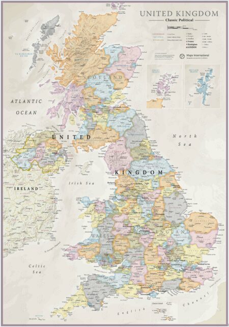
United Kingdom, Maps International
Add to favorites

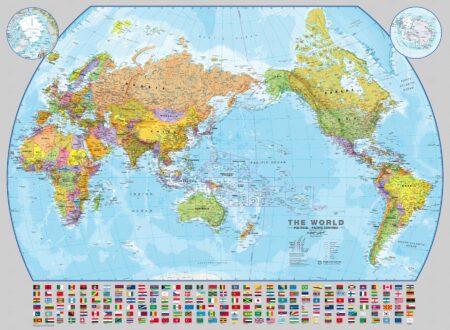
Pacific-centred Political World Map, with flags. Maps International
Add to favorites

Spetzialkarte von Livland by Rücker, set of 6 sheets
13.21 €
Add to favorites

West-Estonian Islands 1704
Add to favorites


