Wall maps for schools

Showing 1–9 of 18 results
Add to favorites
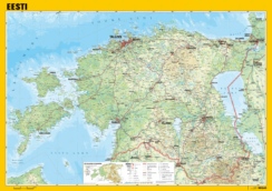
Physical Map of Estonia, general
Add to favorites

Estonian Administrative Division, general
Add to favorites

Physical Map of the World, general
Add to favorites

Illustrated Map of Europe
Add to favorites

Physical Map of Europe
Add to favorites

Political Map of Europe
Add to favorites

Country flags of the World
Add to favorites

Illustrated Map of Estonia
Add to favorites
