Description
In Estonian
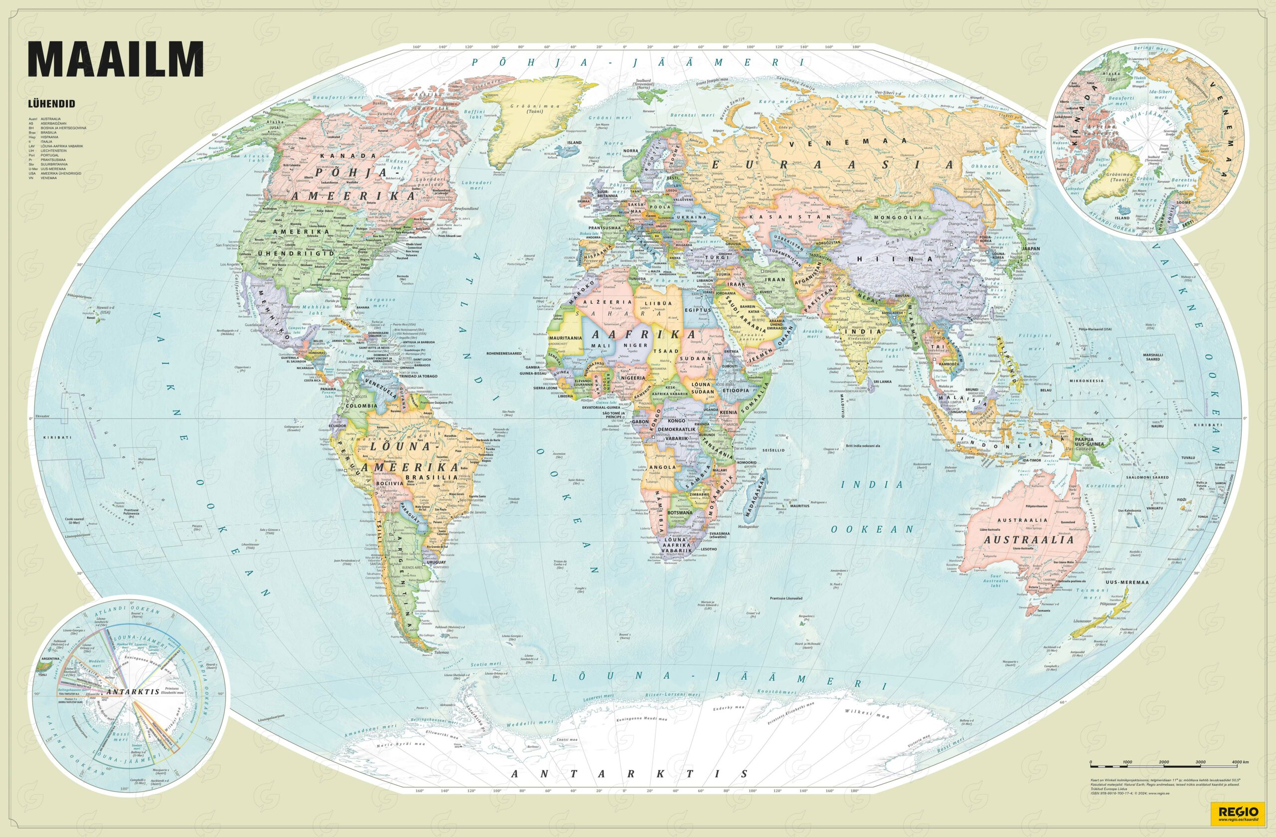
World political map is d beautiful and clear wall map in soft tones. It is perfect for the office, classroom or home – as an elegant decorative element in the living room or on the wall of the children’s room for study and learning.
On the map you can find the names of countries, borders, capitals and other major cities; the names of oceans, seas, bays, straits, islands and peninsulas, larger lakes and rivers, etc.
In addition to the main map, there are separate maps. Arctic and Antarctic.
Although most of the size and finish variations are printed on demand, we have in stock 99 x 70 cm map printed on light and durable Polyart paper.
ISBN 9789916700174
The dimensions of the map may vary by a few centimeters depending on the finishing of the map. The images are illustrative – a few details (exact colour, text layout) may slightly differ from the final product.
If you did not find a product of a suitable size or design, please contact us to get a quote on any specific requirements: maps@regio.ee.

