Fishing game app “Kalamäng”
“Kalamäng” is a mobile application created in 2013 that provides a comprehensive overview of the fish species living in Estonian waters.The application was developed by the Fisheries Information Centre in collaboration with Mooncascade and Regio. It’s since been given a makeover, thanks to which it can be used on all the latest smart devices. The app is suitable for both recreational and experienced fishermen of all ages.

The app outlines the 67 fish species found in Estonian waters
The app is made up of two simple parts.The first part outlines the 67 fish species found in Estonian waters, information about which you can look up, as well as where to find them (shown on a map). There are in fact more species in Estonian waters, around 85 in total, but those which end up here by mistake or which are very similar to other species aren’t covered.
To all intents and purposes, the app is a database listing the key characteristics of each fish, e.g., its distribution, size and feeding habits. Each fish is also pictured so you know what it looks like. The search box will take you directly to the information on a specific fish if you enter its name. You can also filter out the names of fish you aren’t interested in. For instance, if you filter by “habitat”, it will show you which fish live in the sea and which ones are found in lakes or rivers. You can also filter them based on how big they are and what they eat.
Another fun way of finding out how widespread fish are is to show their distribution area on a map covering all of Estonia’s biggest bodies of water and waterways. By scrolling the fish to the left, the map highlights regions in red or with red stripes, representing the primary habitats of the fish.
The app is also an educational game
The second part of the app is an educational game in which you can put your knowledge to the test by answering questions about fish species covered by the app. For each question you get three tries, earning three, two and one points respectively depending on how many tries it takes you to find the right answer. There are five questions per fish:
- Which fish is pictured?
- Where does the fish live?
- How big is the fish?
- What does the fish eat?
- Which of the following statements about the fish is correct?
The game is available on both Android and iOS devices. Download the app to discover the underwater world of fish!
Fishing restrictions app for computers and smart devices
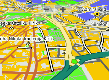
With Regio’s help, a fishing restrictions map app was developed for the Fisheries Information Centre. It provides an overview of where and when such restrictions are enforced. The layers of the map can be individually added and removed. Different colours are used on the map to mark range restrictions, limits on movement and protected sites.
The app is useful when planning fishing trips. As an additional feature, users can search for the names, addresses, and coordinates of specific water bodies, as well as calculate routes from point A to point B. The app can also use GPS to determine the user’s location on a mobile device.


 Regio
Regio


