Frontpage slider


Geospatial Database & GIS Services
Regio owns and maintains the most detailed geospatial database of the Baltic States. We have the know-how and a proven ability to perform a wide range of GIS services.
See more
Cartography & Maps
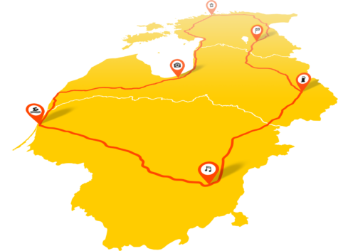
Regio offers a large variety of maps in the form of atlases and wall maps as well as maps used online, in navigation apps and on mobile phones.
See more
Our Major Areas of Activity
– complete geospatial and mapping solutions and technical analyses
– spatial data collection – producing, managing and analyzing data
– spatial data and databases creation; digitalization
– data capture for the road network and navigation dataset of the Baltic States
– map creation for navigation devices
We are grateful for all of our existing and future partners and customers for trusting us to find solutions to your challenges.